All posts by Julian

Sheffield Ramblers in Norfolk in Bid to Reach National Park Highest Points

Sheffield Ramblers Highest Peak

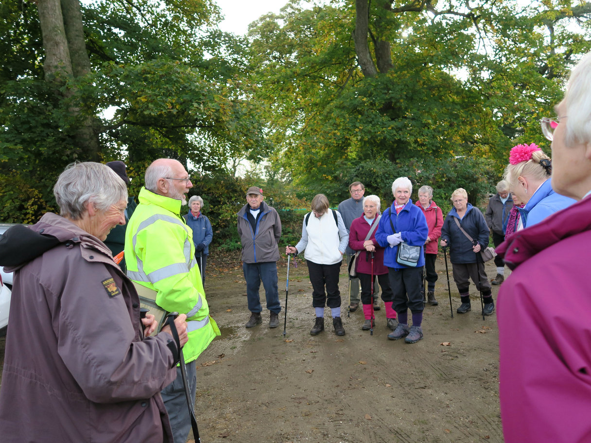
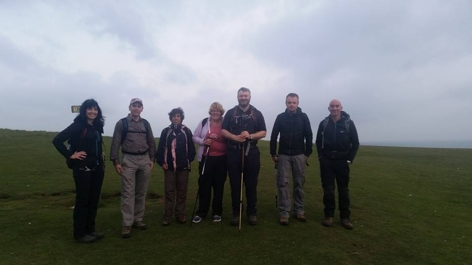
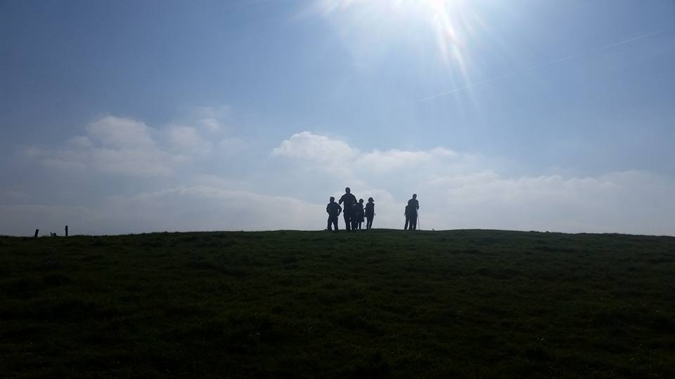
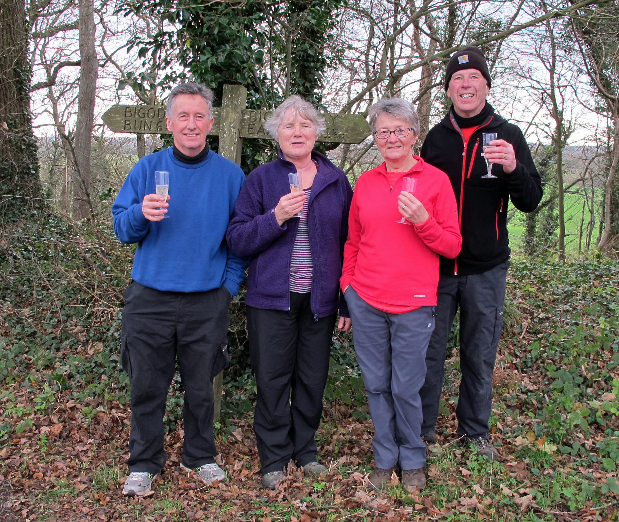
When Sue, Diana and Tony were doing a walk in Ditchingham for the EDP they happened to meet four Ramblers from Sheffield who were celebrating with glasses of wine.

The Sheffield Ramblers were at the top of Bath Hills and they were celebrating reaching the highest point of 15 National Parks. The Norfolk Broads was the last in their expedition so it was a good reason to celebrate!

Unfortunately, even the best laid plans go awry as the Broads Authority have recently amended the highest point to Strumpshaw Hill. Fortunately the Sheffield Ramblers were off there next so their challenge remains complete!

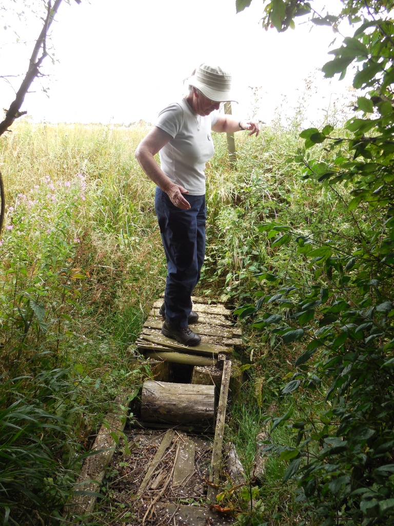
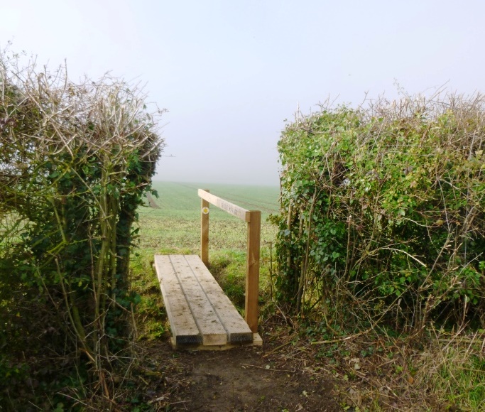
It is also a reminder of the wonderful walking which is available in and around the Norfolk Broads which since early 2015 has been formally known as the Broads National Park.

New Bridge at Topcroft as Memorial for Sheila Smith

A new memorial bridge has been installed at Topcroft to replace the old damaged structure. The council have completed the work in the south Norfolk village following involvement from a Norfolk Ramblers group.

The bridge was identified by Sheila Smith as one which need replacing. She noticed that the bridge needed some work in one of the last walks she was to write for the EDP Norfolk Magazine. Although Sheila had contacted Norfolk County Council regarding the state of the bridge the work hadn’t been completed.

Sheila sadly died in September 2014 and at her funeral donations were collected for a project in her memory which would improve the public rights of way in Norfolk. Sheila was a tireless volunteer for Norfolk Ramblers and as a memorial Southern Norfolk Group members decided to use the monies raised to fund the new bridge. After some protracted discussions with the County Council the work was approved and the group has ensured that the work to replace the bridge was completed.

Southern Norfolk Ramblers will be holding a walk in memory of Sheila on Sunday 10 April 2016 when a plaque on the bridge will be unveiled.


02fp.2015.08.05.JStevens - looking to Hempnall side, SSmith project 010

The above photo shows the bridge before the work took place.

new bridge topcroft

The completed new bridge.

Two new paths have become rights of way in North Norfolk

ramblers

North Norfolk has two newly recognised very useful paths on the Definitive Map of public rights of way that have come about by dedication by their landowners. One is now a restricted byway that runs between Sustead and Bessingham passing Thurgarton Old Hall and the southeast end of Sustead FP3. The other is now a bridleway called Coopers Lane on the OS map in Gresham.

The former came about after two local people started collecting evidence from local users because of a change of landowner, and seeking advice from the Ramblers and receiving some documentary evidence from us.

The second came about after local residents heard that last year the owner made a deposit with the County Council under the Highways Act 1980 section 31(6) of a map of his land about Gresham,  Aylmerton and East Beckham (NCC ref: D14-12) and a declaration that there were no more than the already recognised rights of way. The local residents must have protested to him and Mr Clifton-Brown MP is to be congratulated on deciding to dedicate this enclosed path.

These dedications under the Highways Act 1980 section 25 are arranged by the County Council free of charge (at the moment) to either claimants or landowners.  Faced with solid evidence, they are a way of the landowner retaining some control of the present situation as, if say new gates have been constructed, they are part the package and nobody can object.

Higher rights (say restricted byway over bridleway) might still be claimed but it would have to be a separate claim for a modification order upgrading the status of a recognised path and it may not get much user evidence now, and perhaps have to rely on a single historical document.

Ian Mitchell, the Norfolk Area Footpath Co-ordinator.

Walk on 25th October to mark new bridge in memory of Sharon Webster

SDC12868 (1)

There is a short walk taking place on  Sunday 25 October 2015 which will mark the opening of a new bridge on a well used footpath in the Fritton / Shelton area (FP5). The bridge has been financed and constructed by Rod Webster, a member of the Wensum Group Ramblers, in memory of his daughter Sharon, who sadly passed away three years ago after a long battle with breast cancer. Sharon encouraged her dad Rod and her mum Janet to join the Ramblers several years ago.

SDC12871 (1)

Rod mentions that he was encouraged to start work on the project following a recce with five members of the Wensum Group who were forced to throw wood into a muddy puddle to get across. He also discovered that his new winter walking boots were not as waterproof as he had hoped!

The Wensum Group, part of Norfolk Area Ramblers, offered to help fund the new bridge but Rod has, through some trials and tribulations, has been able to complete the work himself. Local land-owners were helpful and the parish council also offered assistance.

The walk starts at 2pm from Morningthorpe Church (Grid Ref E237 / L134 218925) and the post-code is NR15 2QL. Everyone is very welcome. There is around a one mile walk to the site where a memorial plaque naming the bridge “Sharon’s bridge” will be unveiled.  This is then followed by a short three mile optional walk afterwards.

Update on currently closed footpaths in Norfolk

ramblers

Below is an update on closed paths that Norfolk Area Ramblers are aware of across the county. To report any other closed paths or problems please contact Ian Mitchell, the area’s footpath co-ordinator.

1. Members have found that the path out from Chedgrave beside the River Chet and Hardley Flood is overgrown and that the bridge is damaged. There is a legal closure notice on the path for the time being, until the path and bridge are repaired which may take all winter.

We have offered to make a contribution to repair of this bridge.

2. The river bank path from Santon Downham bridge to Brandon is closed for river restoration, tree felling and surface improvement until 14 April 2016. Alternative paths away from the river are on the Suffolk side or in the forest north of the railway.

3. The river bank path (FP22) west of Cantley for about a mile to beyond FP23 will be closed till 25 April 2016 for flood defence maintenance works. There is no reasonable alternative.

4. The section of bank path from Martham, Damgate eastward round the south end of Martham Broad towards West Somerton is closed till 12 April 2016 for flood defence works.

5. Ludham FP26 beside Womack Water to the River Thurne has already been closed since the summer for flood defence maintenance and this is expected to continue till 2 February.

King’s Lynn Group View Tidal Bore on Fen Rivers Way Walk

King’s Lynn group were fortunate enough to see a tidal bore on the River Ouse during one of their recent walks.

A tidal bore is when water flows up the river against the general direction of the water. Although it meant a 30 minute wait to see the natural phenomenon the walkers felt it was worth waiting to see!

s0197965

Further information about the walk is available on the King’s Lynn Ramblers web-site.

s00379311

King’s Lynn is one of the ten groups which operate as part of Norfolk Area Ramblers. Any member of the Ramblers is more than welcome to walk with any Ramblers group in the country on one of tens of thousands of led walks which take place each year.

Hike Norfolk Annual Trip to Seven Sisters

Nine walkers from Hike Norfolk have completed a walking weekend in the Eastbourne area of Sussex. There was a long walk which took place around the Beachy Head, East Dean and Seven Sisters area on the Saturday and then a walk at the Long Man of Wilmington on the Sunday.

The event will take place again in 2016 and all members of the Ramblers are very welcome, not just those from Hike Norfolk. All that’s required is a love of walking! More details will be made available on the Hike Norfolk forum in the next few weeks.

Some photos from the weekend are below:

12088192_412746325587149_444406148460803851_n

A photo taken on Eastbourne Pier (after a pub night on the first evening) showing the damage done by last year’s fire.

11219672_413186142209834_5444689429542790938_n

Richard enjoying his drink at the Beachy Head pub.

12088562_413186235543158_3459607577514739255_n

View of the Seven Sisters – lots of ups and downs.

11214194_413186362209812_6437625196901054026_n

Looking towards Seven Sisters and the Cuckmere Valley.

12106778_413186468876468_5952035486116990646_n

Beautiful beaches.

12105946_413186538876461_5517591684005776863_n

Walk finished!

12122536_413384462190002_694759100587554910_n

Second day of walking at Wilmington – outline of long man just visible.

12112174_413384495523332_3943692932430218149_n

Beautiful views.

12074500_413384535523328_3908578328007359704_n

Walkers coming over the valley.

12115507_413384662189982_2253676543386205399_n

We weren’t short of blackberries.

12105697_413384692189979_1380151991450802334_n

Richard reading the route directions.

12143151_413384712189977_7828836536096096559_n

Start of the walk

12144829_413384735523308_8648412568133860947_n

Long man of Wilmington.,

12107069_413384968856618_7143216653718562139_n

St. Mary and St. Peter’s Church in Wilmington – one of the smallest in the country.

Hopton to Sea Palling coastal path to be opened up

Liz Truss
Liz Truss

Elizabeth Truss, the Secretary of State for the Environment, Food and Rural Affairs, has confirmed that the coastal path between Hopton on Sea and Sea Palling will be opened up and made available to walkers. The opening is part of plans to establish a national coast path around England.

The path will go through Horsey, Winterton-on-Sea, Hemsby, Caister, Great Yarmouth through to Hopton on Sea. The text of the Secretary of State’s report can be found here.

Julian White from Norfolk Area Ramblers said:

“We are delighted with the announcement that a coastal path will be established from Hopton on Sea to Sea Palling. In December 2014 the county’s first stretch of the England Coast Path opened from Weybourne to Sea Palling so in future walkers will be able to walk from the Norfolk border at Hopton on Sea through to Hunstanton with the option from there of connecting to the Peddar’s Way National Trail.

Along with The Ramblers overall,  we wholly support the establishment of the England Coast Path. We have been closely involved with Natural England in developing the proposals and seek to continue to be involved with the promotion of this new exciting opportunity for walkers.”